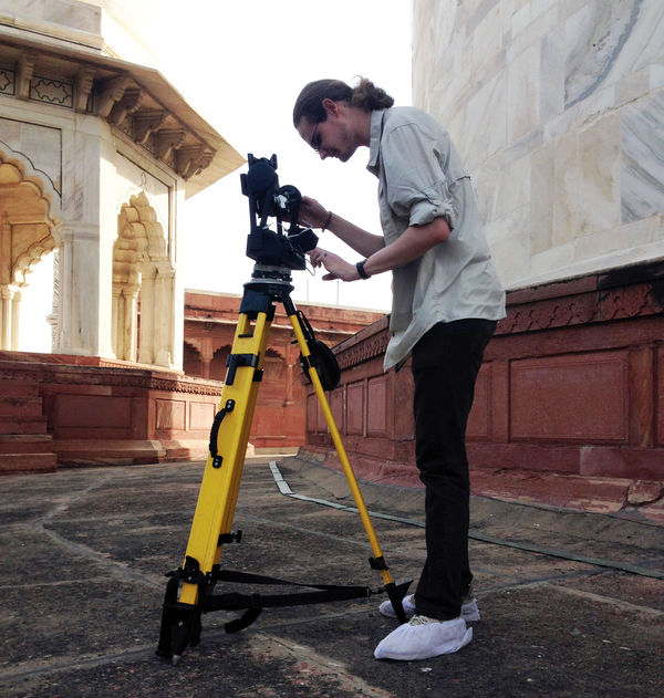
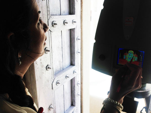
Dr. Chris Sweet, Associate Director of Cyberinfrastructure Development at the Center for Research Computing, and Computer Science and Engineering graduate student, James Sweet, recently traveled to India to document the Taj Mahal.
The Sweets joined the DHARMA team (Digital Historical Architectural Research and Material Analysis), led by Professor Krupali Krusche, School of Architecture. Krusche founded DHARMA eight years ago with the desire to document historic monuments such as the Roman Forum and Taj Mahal. World Heritage Sites structures are inevitably showing signs of deterioration due to the environmental effects, making the digital preservation of these monuments most crucial in historically documenting the world wonders.

The invitation to document the Taj Mahal came with special access to the roof and the four Minaretts that surround the mausoleum, which have been restricted to the public for 60 years. The main objective of the trip was to take high-resolution pictures that, without scanning, would not be possible.
With a week’s worth of dawn to dusk scanning and Gigapans performed in excessive heat, the team captured 13 scans from a laser scanner and 25 Gigapans (digital panoramoric images with billions of pixels) from specific areas of the Taj Mahal. The laser scanner projected a grid view onto the mausoleum and provided coordinates and pointclouds for dimensions of the area. The combination of high accuracy 3D pointclouds, a lidar scanner, high-resolution photographs, and a Gigapan, aid in the creation of a model of the Taj Mahal mausoleum.

In total, the Sweets brought back 160 gigabytes of data to be fully processed. Digitally documenting the monument brightens future plans for the preservation and renovation of historical world heritage sites. Digital 3D models of the Taj Mahal will provide the opportunity to examine the monument remotely and allow the exploration of areas of the Taj Mahal that are unavailable to the public. Access to exceptional vantage points at the Taj Mahal and other world heritage sites is extremely limited. Collecting data and digital imaging from these, most of the time, off limit areas and making the information available to others, will help propel research and aid classroom education.
In collaboration with the DHARMA team, the CRC has worked to make storage and locating information easier and more efficient with the merging of data with intelligence and has developed research software. This research has sparked the potential for future projects for the CRC and DHARMA to document other World Heritage Sites located adjacent to the Yamuna River in India.